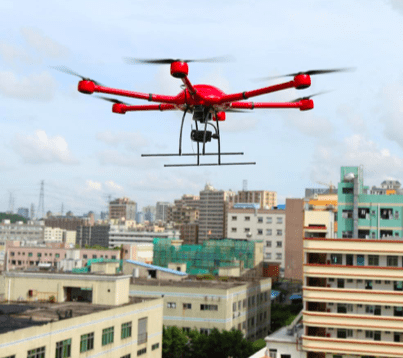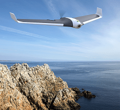
The test was part of the research that NASA is doing in partnership with the FAA to develop a comprehensive unmanned air traffic control system, which will allow for integration of drones into the NAS. The development of a robust system of tracking and communication is critical to the development of the commercial drone industry. BVLOS flight and other types of drone operations currently restricted need to be regularized for many applications, including drone delivery.
Last week’s tests “specifically trial how a mapping alert platform can track drones in real time, report flight paths and alert drones of unanticipated hazards, like a house fire or a public event where drones shouldn’t be overhead,” says Recode. NASA says that the tests are the first of BVLOS flight while being tracked on the platform.
NASA first tested the system last spring, with a coordinated flight of 22 drones. At the end of last year, NASA said that the system would be “ready to be deployed.” Flight over people should be tested by 2018; NASA plans to have completed the final phase of testing by 2019, at which point recommendations would be made for implementation.
It seems slow progress for a project that was mandated in the 2012 FAA Modernization and Reform Act. Government has stepped up the pace of developing regulations as pressure from the White House and Congress mounts for support of the commercial drone industry. The FAA’s chief administrator Michael Huerta indicated that the agency would complete regulations for flight over people by the end of this year.
In the meantime, private industry has also been working on drone traffic management systems. AirMap is used across the country to allow drone operators to communicate with air traffic controllers; they have collaborated with major drone manufacturers to distribute the technology. Amazon, hoping to speed up the path to drone delivery, has also developed a plan for drone integration.
Miriam McNabb is the Editor-in-Chief of DRONELIFE and CEO of JobForDrones, a professional drone services marketplace, and a fascinated observer of the emerging drone industry and the regulatory environment for drones. Miriam has penned over 3,000 articles focused on the commercial drone space and is an international speaker and recognized figure in the industry. Miriam has a degree from the University of Chicago and over 20 years of experience in high tech sales and marketing for new technologies.
For drone industry consulting or writing, Email Miriam.
TWITTER:@spaldingbarker
Subscribe to DroneLife here.
