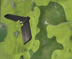
“The most important part about this joint release is the fact that the low price gives it the possibility of being deployed at the farming level,” says Pix4D founder and CEO Christoph Strecha, “and not just the research level.”
With a 16MP RGB camera, 5 Ag-dedicated sensors (Red, Green, NIR, Red Edge, Luminosity), 64GB built-in memory, GPS and IMU, Sequoia weighs only 110 grams and can be mounted on any drone.
Farmers and agronomists will be able to easily capture multispectral information of their fields by flying a drone with Sequoia, then use Pix4Dmapper Ag to turn those images into geometrically and radiometrically accurate maps. The orthomosaics, NDVI maps and reflectance maps produced by Pix4Dmapper Ag give a broad aerial perspective and insight into plant health that’s not visible to the naked eye. Applications range from digital scouting to vigor analysis and production of fertilizer application maps for machinery.
“This technology is intended to increase accessibility to the end user,” says Strecha. “That’s the potential.”
Pix4Dmapper Ag (ver. 2.1 Beta) and Sequoia are available for pre-order as of today in Pix4D’s online store with a special launch promotion for a limited time.
Miriam McNabb is the Editor-in-Chief of DRONELIFE and CEO of JobForDrones, a professional drone services marketplace, and a fascinated observer of the emerging drone industry and the regulatory environment for drones. Miriam has penned over 3,000 articles focused on the commercial drone space and is an international speaker and recognized figure in the industry. Miriam has a degree from the University of Chicago and over 20 years of experience in high tech sales and marketing for new technologies.
For drone industry consulting or writing, Email Miriam.
TWITTER:@spaldingbarker
Subscribe to DroneLife here.