DroneDeploy recently announced new features to their agriculture toolkit which expand the actionable data available to farmers and power users and enable them to get better results faster. And they have timed it to coincide with the #Plant2016 growing season which underway in the Northern Hemisphere.
The new Ag-specific capabilities include:
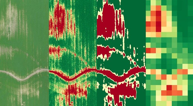
- Zones and Grids — New zone management tools to make your drone data more actionable
- VARI — Improved vegetative index designed specifically for RGB cameras
- Large Maps — Bigger uploads of up to 3,000 images at a time to create maps covering several hundred acres
Along with these new features, DroneDeploy is offering a new Seasonal Ag Package designed for the growing season. This plan is available for $999 for six months (43% savings), and includes:
Unlimited processing and large map creation of up to 2,000 images
- Management zone creation and shapefile exports
- Extended support hours
- Complimentary training
Learn more about this limited time ag offer here.
Lastly, there is also a new business subscription plan designed for business users who need more than their current Pro offering, but aren’t yet ready for a full Premier subscription. The new Business plan includes all the features of Pro plus additional powerful capabilities including larger maps, higher resolution and custom EPSG projections. This plan is priced at $249 a month.
Learn more about the full details of the new Business offering here.
All this launches today (May 5th) and is available on select subscription plans.
Frank Schroth is editor in chief of DroneLife, the authoritative source for news and analysis on the drone industry: it’s people, products, trends, and events.
Email Frank
TWITTER:@fschroth